Heavy Snowfall Brings Higher Avalanche Danger in the Alps
Heavy Snowfall Brings Higher Avalanche Danger in the Alps
Published : 28-Nov-2023 18:24
The snowy end to November in the Alps has brought some very enticing scenes to skiers and boarders, but those thinking of heading off piste this early in the season are asked to be aware that avalanche danger levels are currently widely at Level 3 or "considerable" on the scale to 5, with some resorts in Switzerland, including the Jungfrau region, seeing Level 4 or "high".
"The new snowfall has been accompanied by strong wind, particularly at high altitudes. It's been very blown about, with some deep accumulations forming and plenty of wind slab, particularly on E to S facing slopes. This fresh snow is lying on top of hard or icy surfaces, and not bonding to these," the first Off Piste Snow Report of the season produced by Henry's Avalanche Talks for winter 23-24 notes, adding, "In the short term (24 to 48 hours after these snowstorms) there is an increasing risk of natural avalanches, which could travel a long way. After this, with the increasing and decreasing temperatures accompanied by rain/snow, things should start to stabilise in the off-piste though as things refreeze and solidify (especially in those areas that got a good remelt or drenching!)."
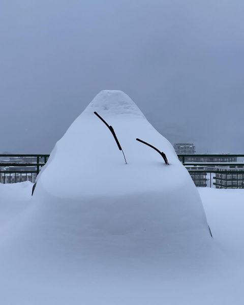
About 50 ski areas are currently open and base depths are growing quickly in the Alps. Val Thorens, the Kaunertal Glacier and Solden have all seen their upper slope base depths pass through the 2 metres mark over the past few days. Tignes is pictured above.
Join the conversation : Discuss this in the J2Ski Forum
This news item has been viewed 3,378 times.
Also on J2Ski :- Val Thorens Snow Forecast Ski Hotels Ski Hire Ski Holidays